
Find your trail in China
Verified hiking, walking, and cycling routes — mapped for international visitors, with transport and Amap tips.
Browse all 114 routesFeatured trails

Expo Riverside: China Art Museum, PSA & the World Expo Museum

Xujiahui Origin Walk: Film, Crafts and the Science of Shanghai

MAP – Lujiazui Riverside Art Walk: Museums, the Bund View and Nanpu Bridge

Huamu Cultural District Walk: Shanghai Museum East, Library East & Oriental Art Center

Natural History & Suzhou Creek Art Walk: Dinosaurs, Sculpture Park & the Galleries
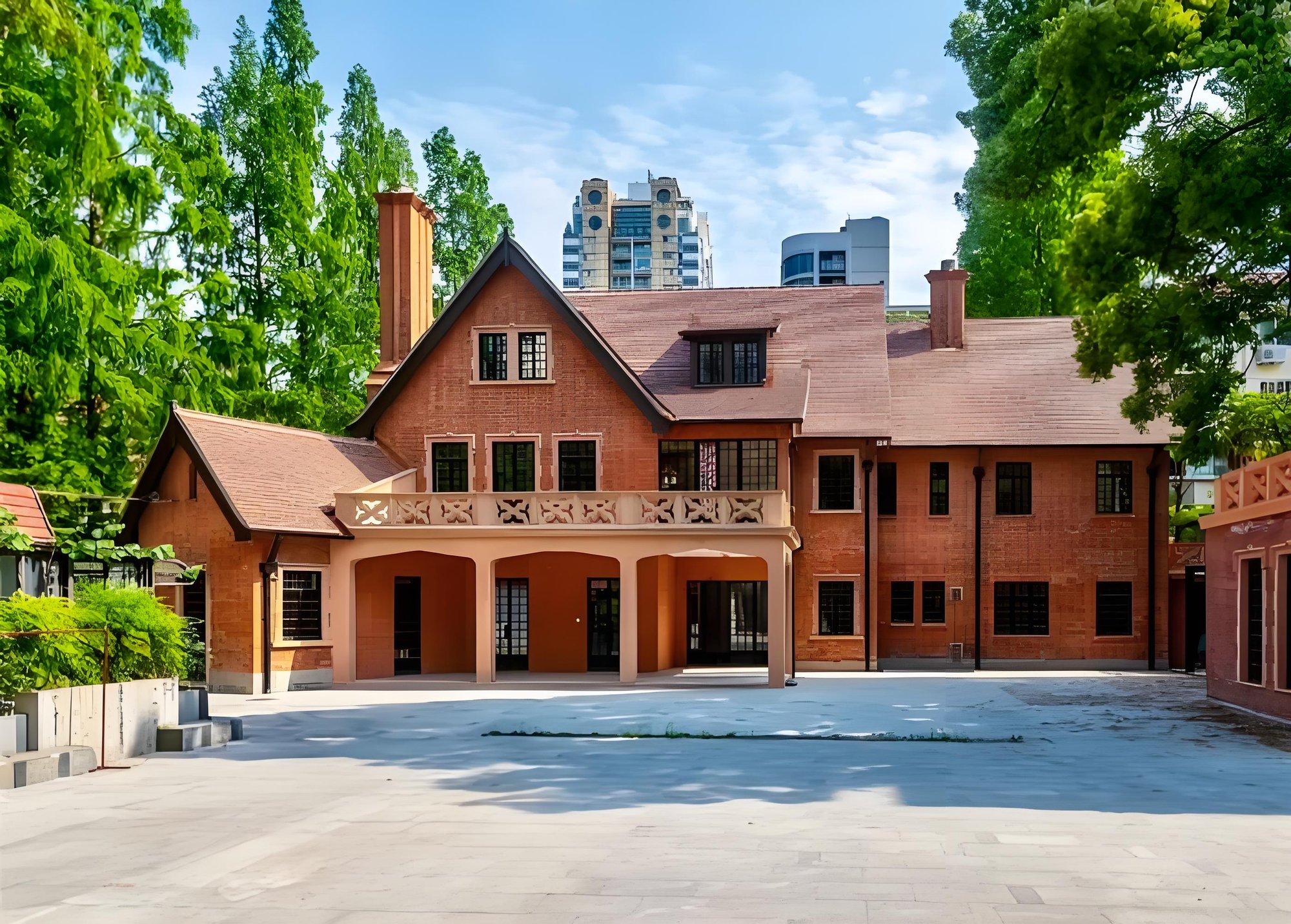
Xinhua–Panyu Walk: Villas, Hudec & the Columbia Circle Campus
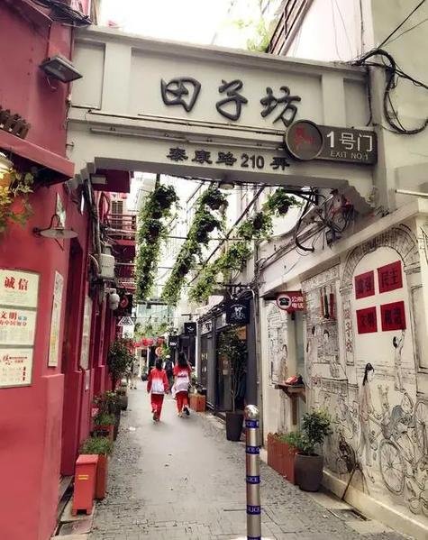
Tianzifang Walk: The Lane Market at Taikang Road 210
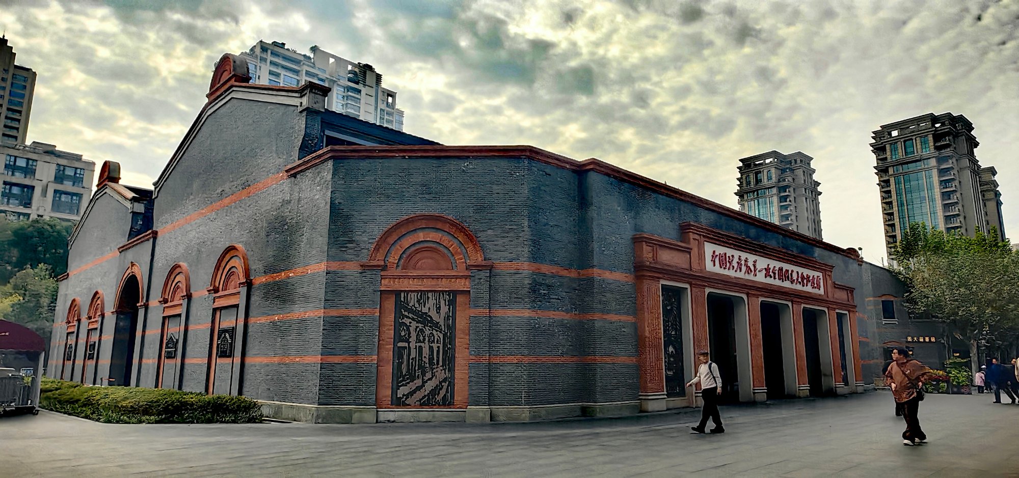
Xintiandi & the Congress Site: 2 km from 1921 to Now
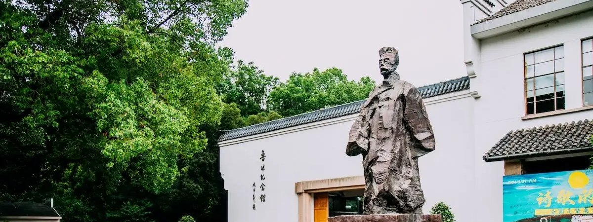
Duolun–Lu Xun Walk: The First Street of Shanghai-Style Culture
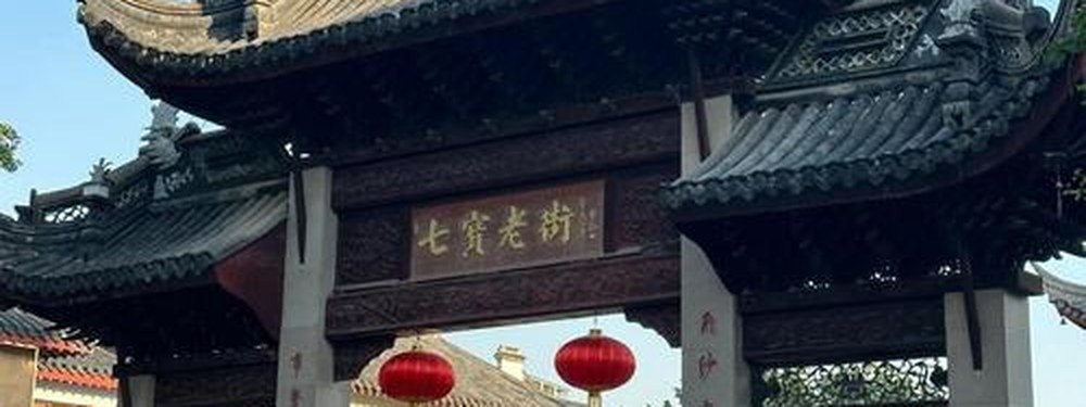
Qibao Ancient Town Walk: Canal Street, Snacks & the Mini-Museums
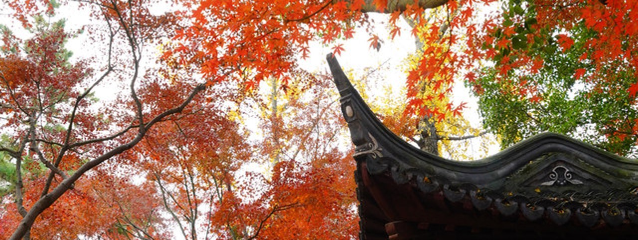
Jiading Zhouqiao–Qiuxia Walk: the Pagoda, the Ming Garden & the Confucius Temple
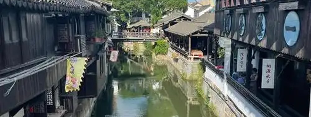
Xinchang Ancient Town Walk: the Teahouse, the Archway & the Living Streets
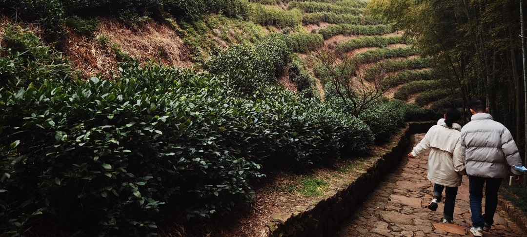
Zhongtai Tea Ridge Walk (Chaye Tianjing Trail)
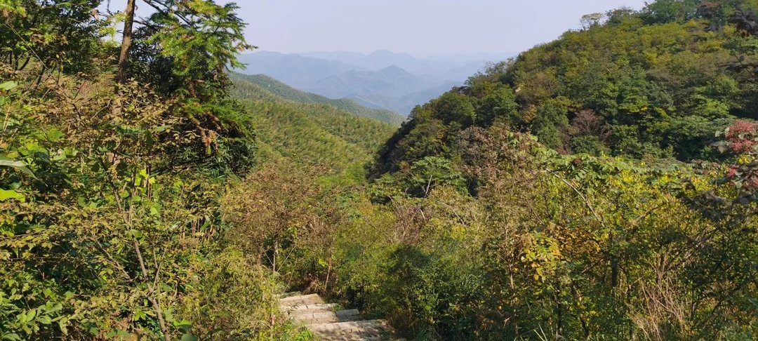
Luniao Mountain Ridge Loop (Pingtiantang Ancient Path)
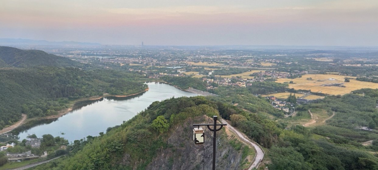
Liangzhu Sky Stairs Ridge Walk (Kangmen Reservoir Loop)
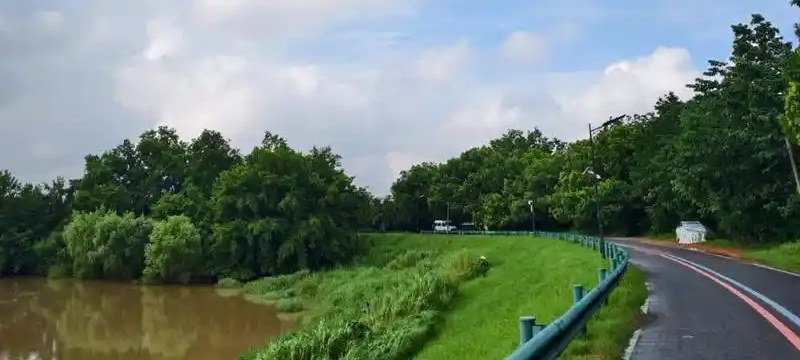
Tiaoxi Greenway Dike-Crest Walk (Xixian Dike)
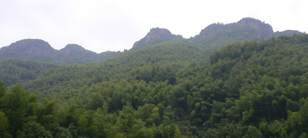
Qingshan Classic Loop (Huanzhe Trail, Yuhang)
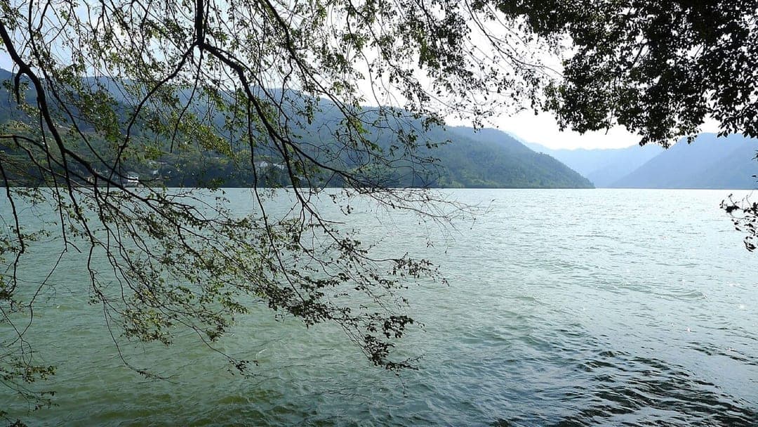
Maling Ancient Path, Tonglu Valley Section
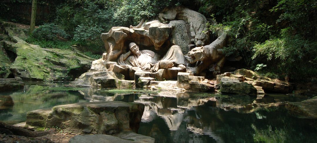
Hupao Spring and Guiren Pavilion Walk
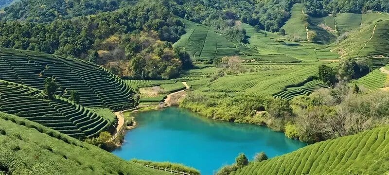
Qingshan Little Bull Loop
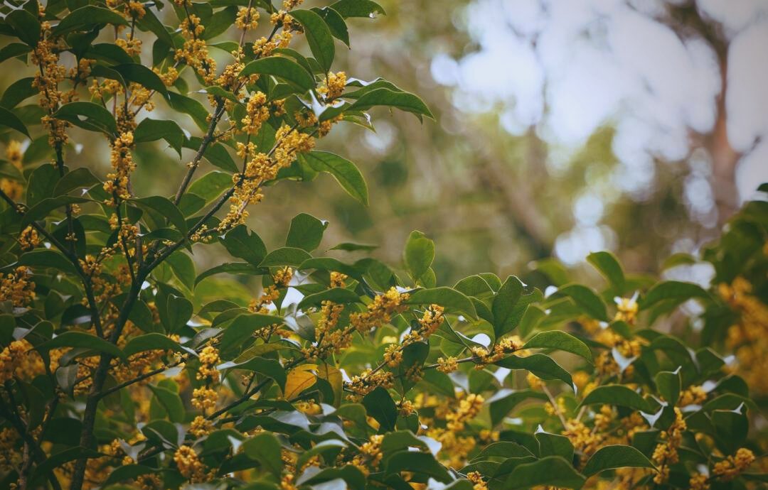
Manjuelong Osmanthus Ridge Walk
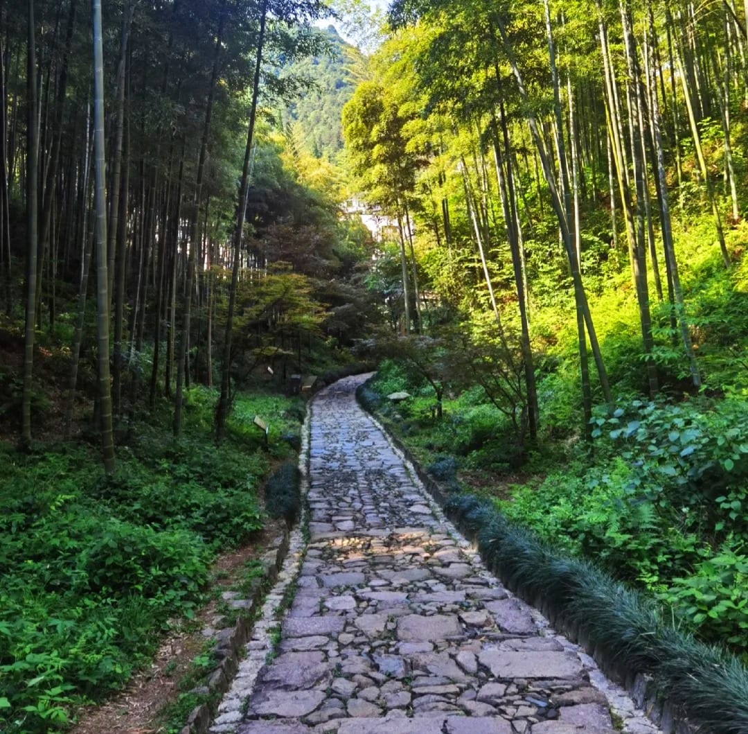
Huanzhe Trail Zero-Mile Sample Loop
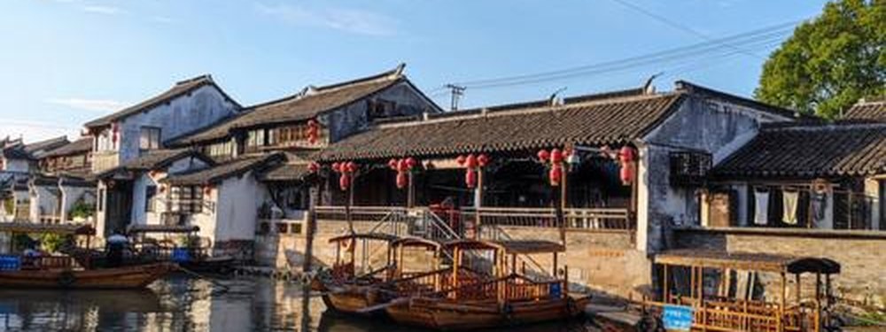
Longmen Ancient Town Walk
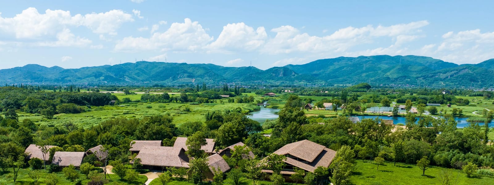
Liangzhu Ancient City Heritage Walk


Browse by Area
All areas
Baoshan 宝山
Shanghai's north-bank suburb with one flagship outdoor space: Gucun Park's 430-hectare cherry-blossom park — the city's largest sakura collection, reported 14,000+ trees of 110+ varieties, wrapped in a flat, gated, family-friendly ring loop that works all four seasons, reached by Metro Lines 7 and 15.
Chongming Island 崇明
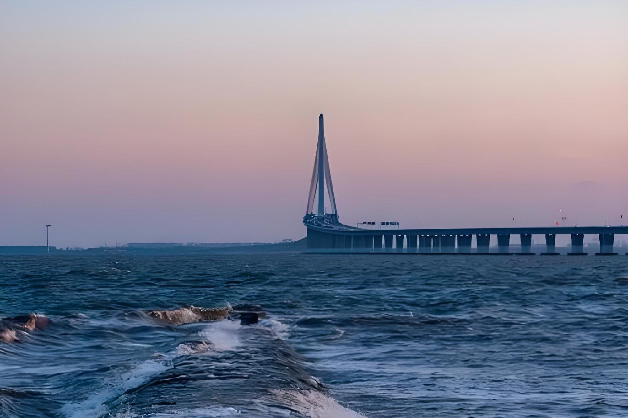
Shanghai's rural island escape — flat, reclaimed and built for two wheels, and tidal wetland boardwalks at Xisha, metasequoia forests at Dongping, country-lane rides through villages and citrus orchards, and a lake-loop finale at Mingzhu, reached by tunnel, bridge or ferry.
Fengjing 枫泾
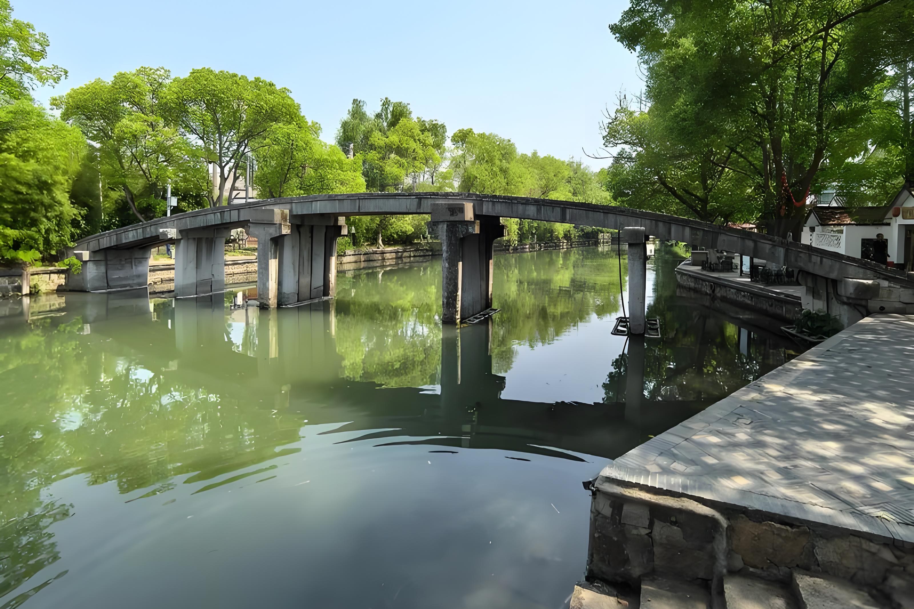
The quietest, most countrified of Shanghai's water towns — Fengjing's covered corridors, three bridges and art concentration (cartoons, painters' houses, farmer painting) at the Jinshan–Zhejiang border, reached by the 枫梅线 bus or the 金山北站 high-speed rail.
Gaoqiao 高桥
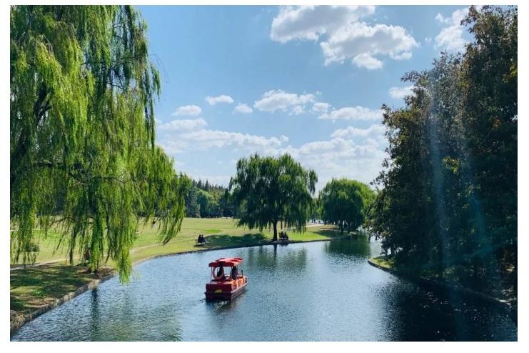
Pudong's northern-tip district where the Yangtze, the Huangpu and the sea meet: anchored by Binjiang Forest Park's 300-hectare forest loop — former nursery grounds with azalea gardens, a wetland boardwalk and the three-waters confluence bluff — plus the historical Sanchagang ferry point, reached by Line 6 and the 外高桥1路 bus.
Hengfu 衡复
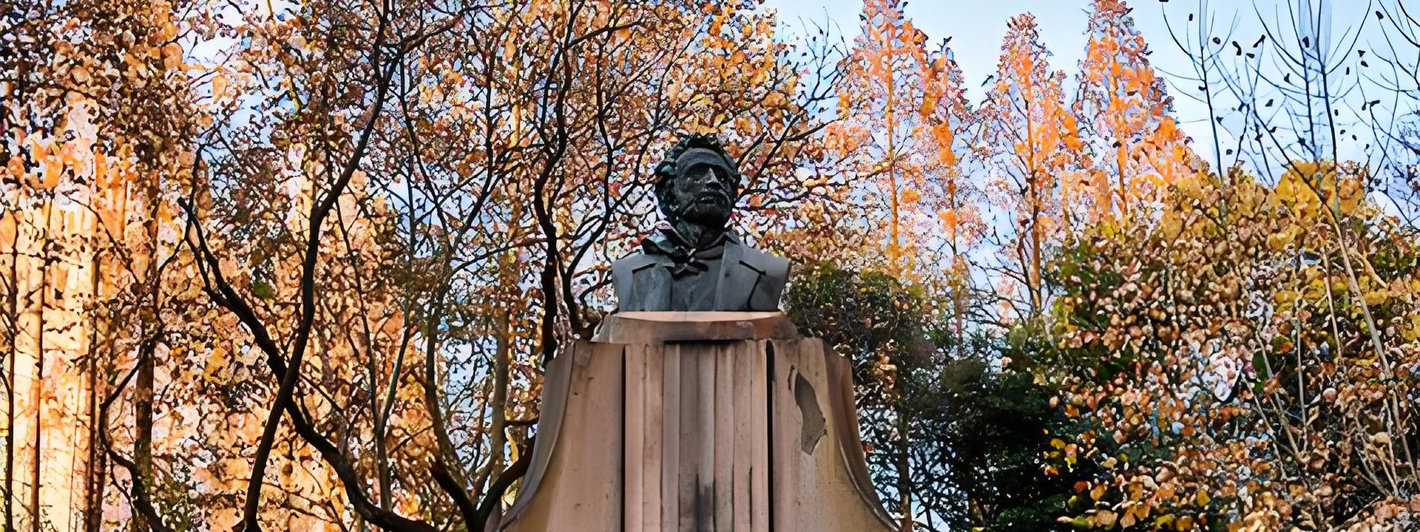
Shanghai's historical conservation quarter — the plane-tree streets of the former French Concession: the Wukang Road heritage triangle anchored by the 1924 Wukang Building 'ship', and the Hengshan Road grand avenue south to the Community Church, the jazz-era villas and the Xujiahui Source. Flat, free, metro-served citywalks through a century of architecture.
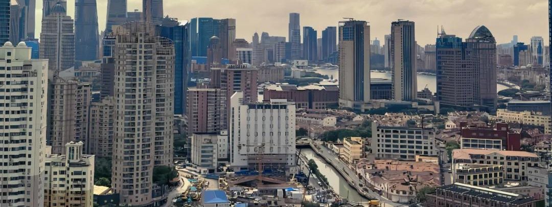
Hongkou 虹口
Shanghai's cultural north: the literary quarter of Lu Xun and the left-wing circle — Duolun Road's 'first street of Shanghai-style culture', the Shanyin Road conservation lane with the writer's former home, and Lu Xun Park with his grave — plus the North Bund riverside greenway along the Huangpu. Quieter and more lived-in than the plane-tree quarter, flat and metro-served.

Huamu 花木
Pudong's cultural three-piece — Shanghai Museum East's ancient-art galleries, the spiral-staircase Library East, and Paul Andreu's butterfly-orchid concert hall — gathered in the green Huamu quarter. Flat, indoor-first and metro-served, it is the museum-and-library counterpoint to Shanghai's river walks.
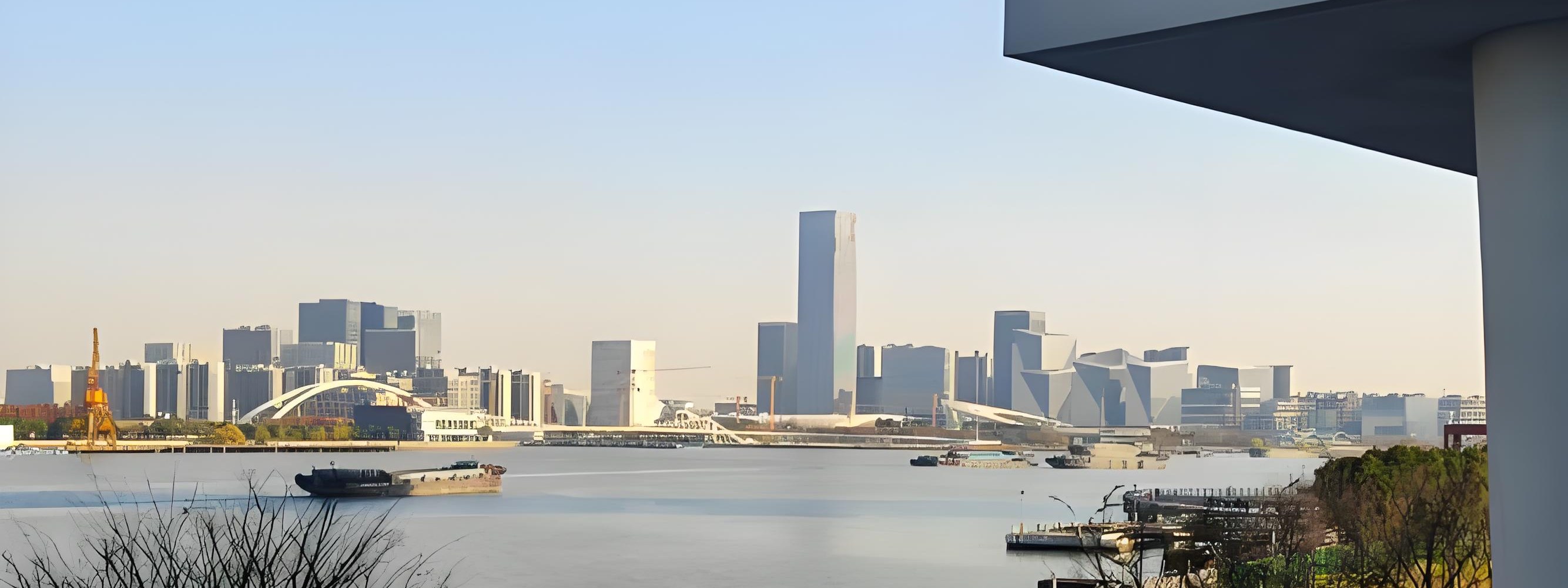
Huangpu 黄浦
Shanghai's historic core district: the Bund promenade and its 1920s-30s 'Exposition of World Architecture', the Nanjing Road retail mile, People's Square's cultural triangle, the Ming-era old city of Yuyuan Garden and the City God Temple, and the Huangpu riverside greenway — the city's first-visitor geography, flat and metro-served.
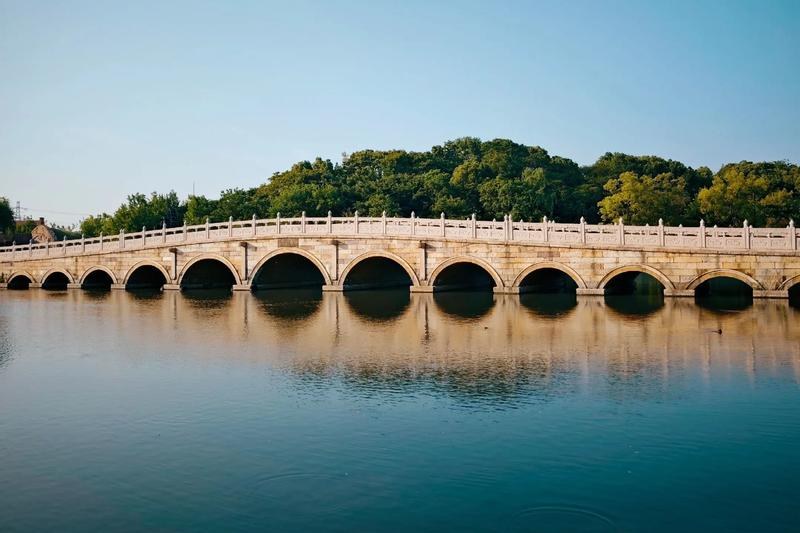
Jiading 嘉定
The garden-and-water-town tier of Shanghai's northwest: Nanxiang's classical Guyi Garden, its soup-dumpling old street, and the district seat's own old town — all on Metro Line 11.
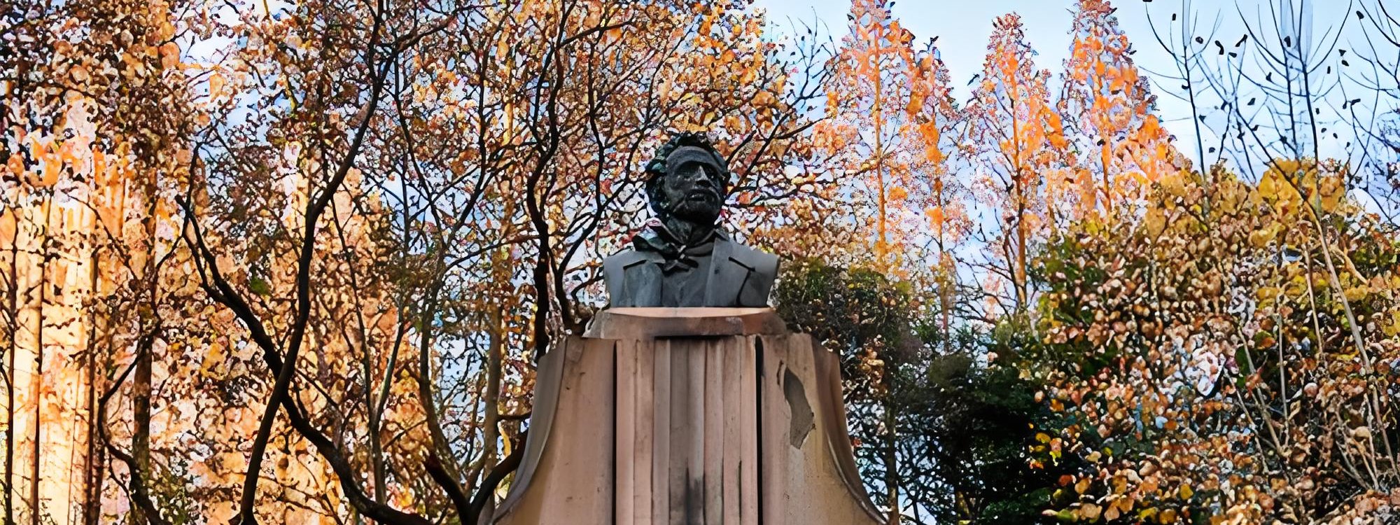
Jing'an 静安
Shanghai's liveliest shopping quarter — the plane-tree triangle of 长乐路, 富民路 and 巨鹿路 between Changshu Road and Jing'an Temple: vintage shops, streetwear, cafés and the Hudec-designed Eros Garden villa of the Writers' Association, with the ancient temple as the closing anchor. Flat, free and metro-served — the contemporary-Shanghai counterpoint to the heritage walks.
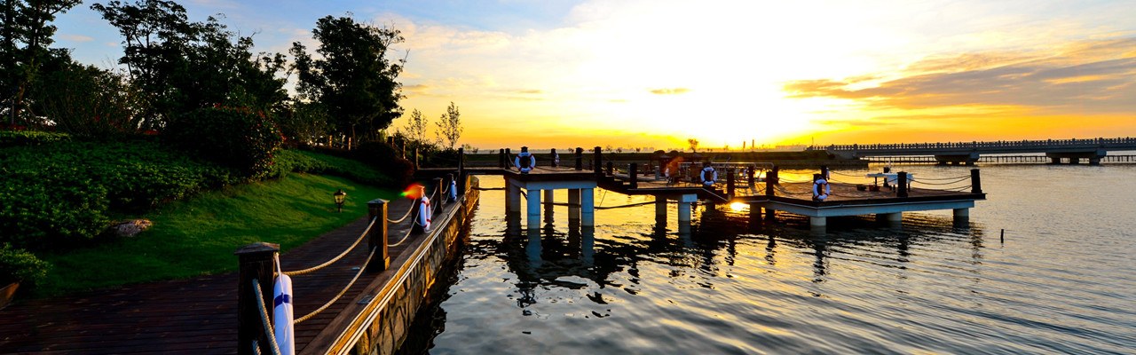
Lingang 临港
Shanghai's East-Sea new city at Pudong's southern tip: the perfect man-made circle of Dishui Lake ringed by an 8 km free greenway with seven rainbow bridges and sculpture gardens, the Nanhuidui seawall's ~7 km shore walk, and the flagship Astronomy Museum — a lake-and-sea day reached directly by Line 16.
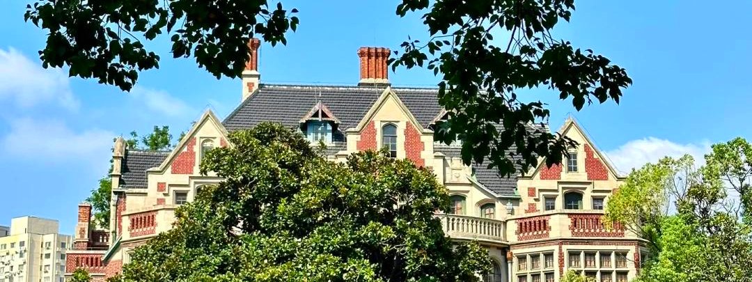
Minhang 闵行
Shanghai's nearest water town: Qibao Old Street's ~1 km canal-side bazaar of snacks, mini-museums, an 1867 Catholic church and a 2002 temple with a 47 m pagoda — flat, free and reachable by Metro Line 9.
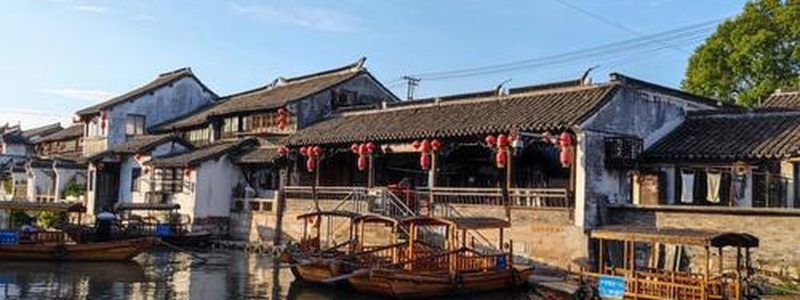
Fuyang 富阳
Hangzhou's south-western district, strung along the 富春江 and famous as the landscape behind the fourteenth-century scroll Dwelling in the Fuchun Mountains. Its headline walk is Longmen Ancient Town, a flat half-day through the largest settlement of Sun Quan's descendants; its harder day is the 龙门山 forest trail up to 杏梅尖, the highest point in the district.
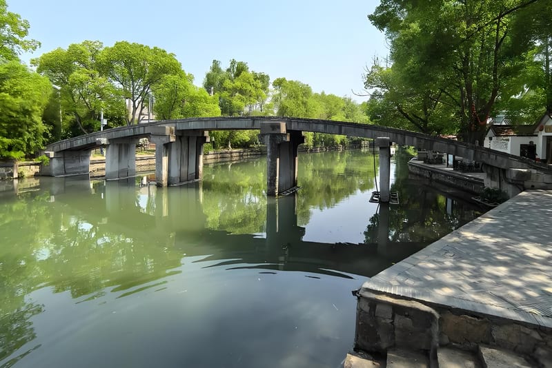
Liangzhu 良渚
The archaeological landscape northwest of Hangzhou where a 5,000-year-old walled city was found: a flat, wetland heritage walk across the UNESCO-listed Ancient City, the separate Liangzhu Museum 3.6 km east, the Yaoshan altar-and-burial site, a 27 km discovery trail that threads the whole cluster together, and a hill above the reservoir at the west end of it that gives the only view over the plain.

Jingshan 径山
A tea-and-bamboo township in western Yuhang, 35 km from the city, whose two walks could not be more different: a signposted provincial demonstration loop that starts at the zero marker of Zhejiang's long-distance network, and a stone pilgrim path up to the Zen temple that gave Japan its tea. Both begin in the same valley at Shuangxi, and both are governed by an early last bus.
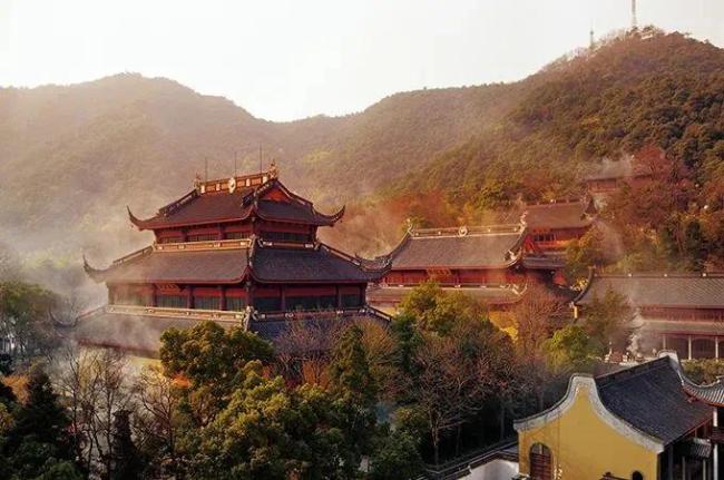
Lingyin / North Peak 灵隐 / 北高峰
Temple grounds, forest climbs, and panoramic views from one of the highest points near West Lake.
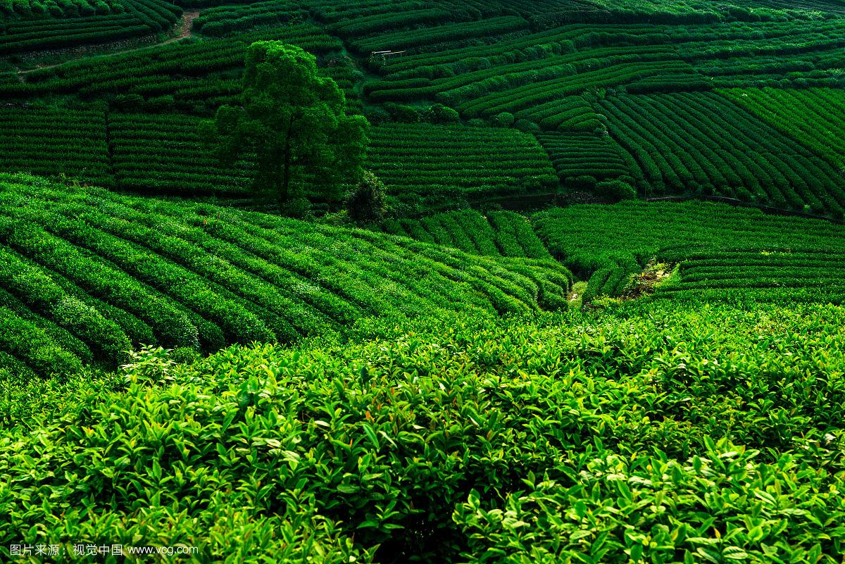
Longjing / Tea Villages 龙井 / 茶村
The historic home of Longjing tea — terraced hillsides, shaded stream valleys, and village paths.

Luniao & Baizhang 鸬鸟/百丈
Two townships sharing one ridge at the far western edge of Yuhang, about forty-five kilometres from Hangzhou's centre. 百丈 holds the valley, the hamlet this walk starts from and a cluster of village museums; 鸬鸟 holds the crest, the road-head platform and the pear orchards. One stone-step ancient path runs between them, and it is the reason to come.
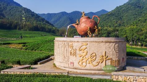
Longwu Tea Village 龙坞
Tea terraces, forest ridges, and a hidden reservoir loop. Longwu is one of Hangzhou's most scenic tea areas, well-connected by metro and bus.
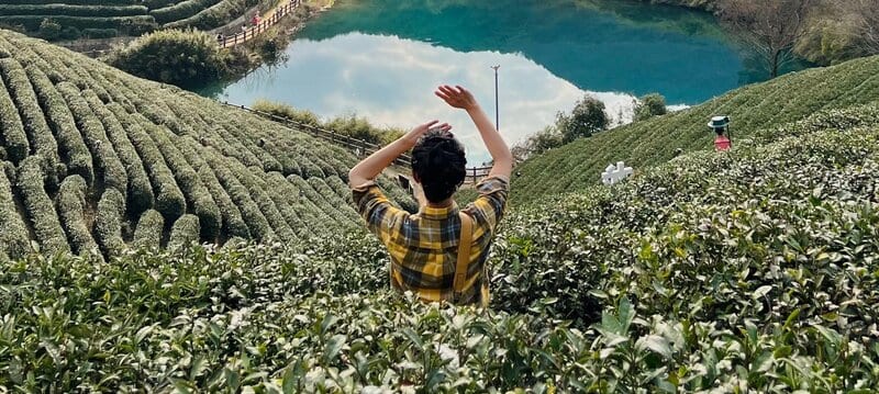
Qingshan Village 青山村
A hill village in Yuhang's Huanghu township that rebuilt itself around two projects: a public-interest trust protecting the reservoir that supplies drinking water to this part of the district, and a design archive that moved into the village theatre and stayed. Walks start at the library and run out to the dam; the 10.6 km classic loop climbs the ridge of that 32 km section twice, and the Little Bull line stays in the corridor below it.
Tonglu 桐庐县
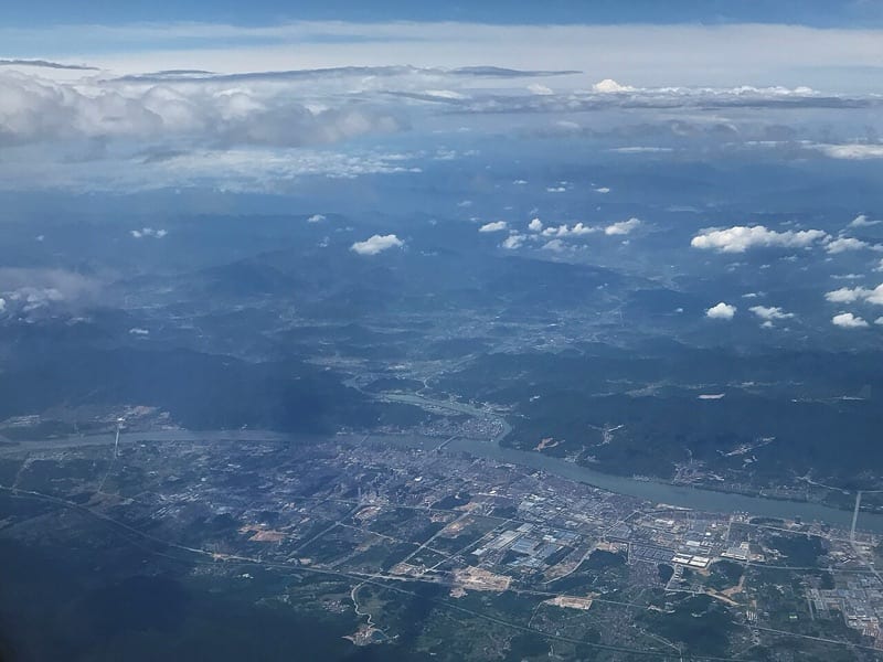
A county of river and hill country on the Fuchun, an hour from Hangzhou by high-speed rail, whose walkable core is a single creek valley: 芦茨溪, with three decorated heritage villages at 石舍, 茆坪 and 芦茨. The other sights are spread out and need a boat or a car, so Tonglu rewards one valley per day rather than a tour.

Tiaoxi 苕溪
A flat river corridor north-west of Hangzhou where three branches of the 苕溪 join and stop being hill streams, and where two thousand years of flooding have been answered by a right-bank dyke whose crest is now a greenway. The walking here is long, open and unshaded, and every distance the district publishes is about something else.
West Lake 西湖
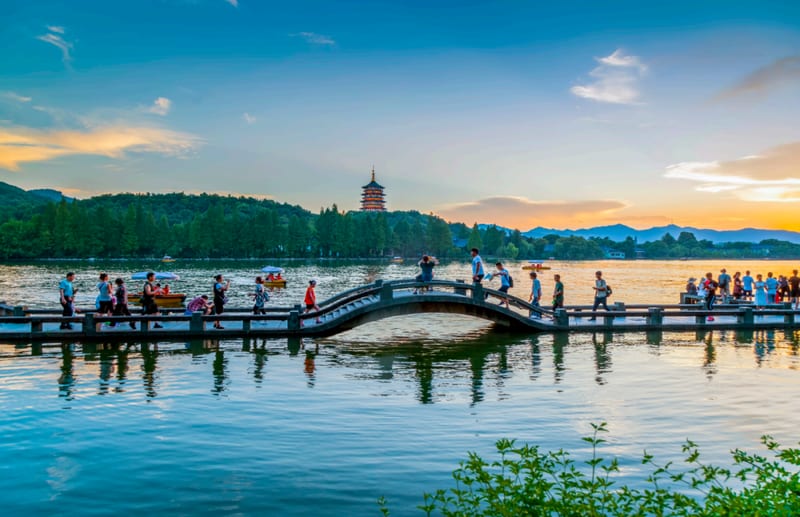
The iconic heart of Hangzhou hiking — lakeside trails, hill climbs, and pagoda viewpoints.

Zhongtai Tea Hills 中泰
A township-street in the south-west corner of Yuhang whose hills are planted to tea rather than scrolled for scenery: 1.55 万亩 of terraces across 双联, 枫岭 and 泰峰, a rounded 260 m ridge you can drive to the top of, and a view north at Hangzhou's newest district rather than out at country. The walking here is low, paved and village-based, and the famous craft workshop sits on the wrong side of the street.

Planning Guides
All guidesGetting to the Trailhead
How to reach each trailhead from central Hangzhou, metro stops, bus routes, taxi costs, and what to look for at the drop-off point.
How to Go Hiking in Hangzhou Without a Car
How to reach every trailhead by metro, bus, or taxi, with key stations, estimated fares, and Chinese place names.
Best Season for Hiking in Hangzhou
When to visit Hangzhou for hiking. What each season feels like, how it affects trail conditions, and what to pack.
How to Use Amap for Hiking in Hangzhou: A Step-by-Step Guide (No Chinese Needed)
Google Maps doesn't work well for Hangzhou trails. Learn how to use Amap (高德地图) to find trailheads, navigate, share your location, and download offline maps, step by step, with no Chinese required.
About This Guide
This site is written and maintained by a Hangzhou-based hiker. Trail guides are compiled from personal field notes and local research, with route details updated as trails are checked, transport changes, and seasonal conditions shift. Every guide shows its current verification status — whether it has been locally reviewed or field-checked.