West Lake

西湖

The iconic heart of Hangzhou hiking — lakeside trails, hill climbs, and pagoda viewpoints.

West LakeLakesidePublic transport

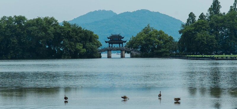
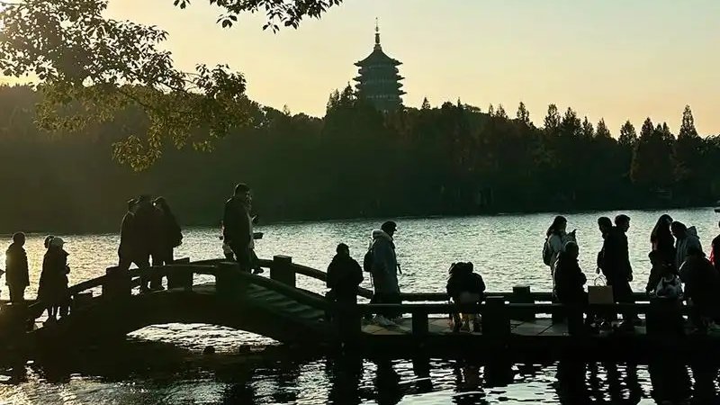
West Lake is the centerpiece of Hangzhou and the starting point for many of the city's best hikes. The area combines easy lakeside walks with moderate hill climbs, all within reach of public transport. Temple trails, tea fields, and panoramic viewpoints circle the lake on all sides.

Trails in This Area
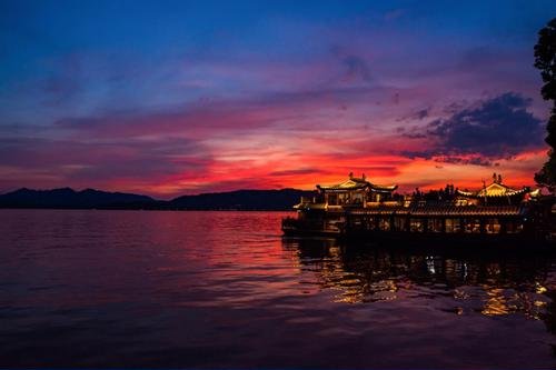
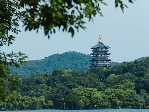
Leifeng Pagoda sunset reflection at Changqiao Park on West Lake, with the pagoda silhouetted against golden sky

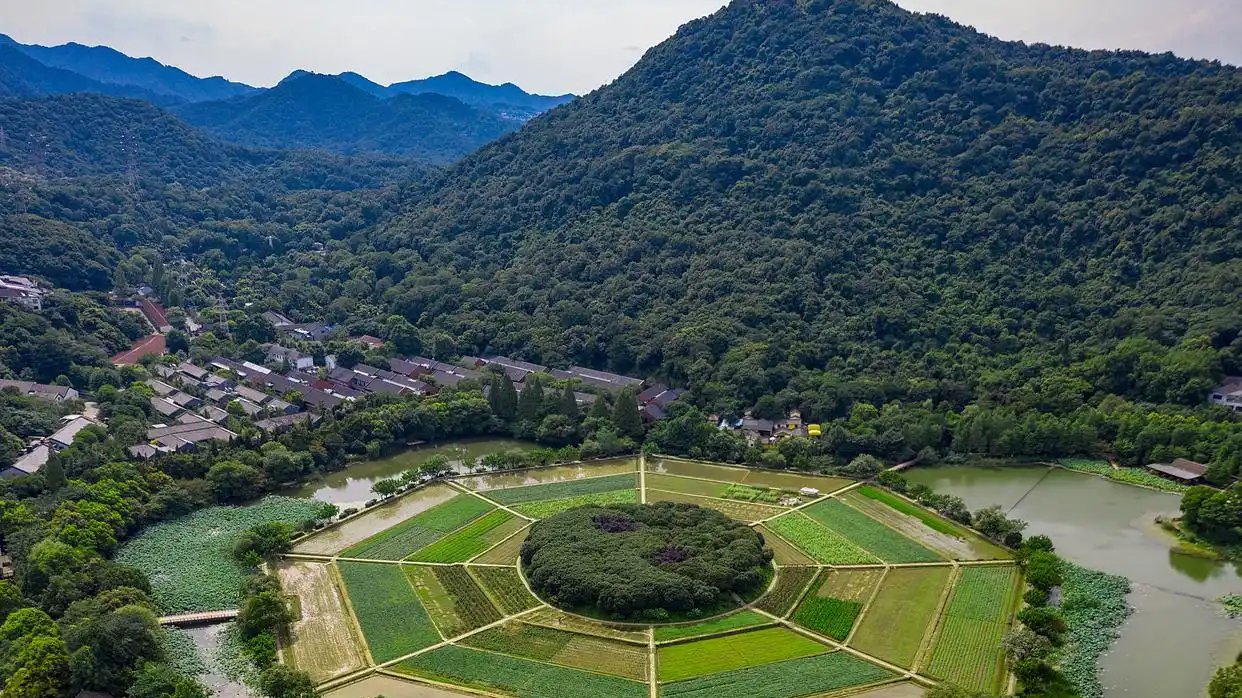
Bagua Tian to Changqiao Park via Yuhuangshan
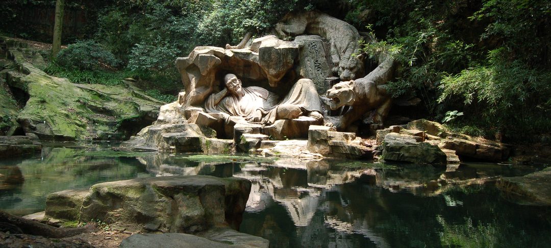
A south-to-north city traverse starting at Bagua Tian, ascending Yuhuangshan past Tianlong Temple's Song cliff carvings and Zilai Dong's cave temple to the Fuxing Temple summit, then descending through Baishé Feidu's forest boardwalk and Nanping Mountain to finish at Changqiao Park with Leifeng Pagoda sunset views over West Lake.

~7–9 km (point-to-point, no backtracking) 3–4 hours (walking with photo and temple stops; allow until sunset at Changqiao Park for the full experience) Easy
Start: Shuichengqiao Metro (Line 4) → Bagua Tian north entrance End: Changqiao Park (Long Bridge Park)
Metro Line 4 to start; bus or taxi from finish
West Lake viewsViewpointHistoric sitesForest trailBeginner-friendlyCity viewsSunsetPhotographyCultureSpringAutumn
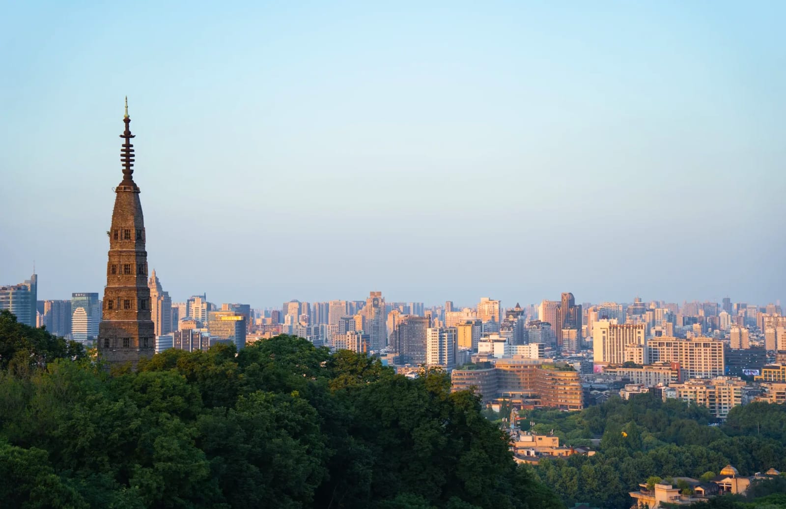
View of West Lake from Baoshi Mountain in Hangzhou

Baoshi Mountain West Lake View Walk

A short city-side hill walk with classic views over West Lake and Baochu Pagoda. Quick, easy, and well-connected by public transport.

~2 km (one way from the base to summit) 1–2 hours Easy
Start: Baoshu Pagoda / Beishan Road End: Baoshi Mountain summit
Metro + short walk / bus / taxi
West Lake viewsShort walkEasySunsetPublic transport
Panoramic view of Wushan cityscape and West Lake hills from the Jianghuihuiguan Pavilion viewing platform

Wushan to Bagua Tian via Fenghuangshan and Yuhuangshan

A city hike across three connected hills — Wushan's pavilion viewpoints, Fenghuangshan's Southern Song imperial ruins, Yuhuangshan's Taoist cave temple, and a finish at Bagua Tian. Outstanding urban-to-rural variety, over 90% tree cover, and beginner-friendly gradients.

~8–10 km (point-to-point, no backtracking) 4–5 hours (walking with photo stops) Easy
Start: Wushan Square Metro Exit D End: Bagua Tian (Eight Trigrams Field Park)
Metro-to-metro (Line 7 start → Line 4 finish)
City viewsHistoric sitesForest trailBeginner-friendlyViewpointSpringAutumnSummer (shaded)CulturePhotography
Sunset view of West Lake from Jiuyao Mountain with the heart-shaped route traced in the landscape

West Lake Heart Trail

A ~20-21 km challenge loop forming a heart shape around West Lake. Climbing Baoshi Mountain, the Lingyin hills, and Jiuyao Mountain with a lake-shore return. The longest and most iconic route on the site.

~20-21 km (loop) 5-7 hours (walking); 7-9 hours (with photos and breaks) Challenging
Start: Shaoniangong (Youth Palace) End: Shaoniangong (Youth Palace)
Metro / taxi / bus
Long distanceRidge walkWest Lake viewsForest trailChallengingFull-dayLoopSpringAutumn
View across West Lake from the Bai Causeway with Broken Bridge in the foreground

West Lake Classic Loop

An ~11-12 km flat urban walking loop around West Lake, connecting the lake's most famous sights. The essential first-time visitor walk — entirely paved, no elevation gain.

~11-12 km (loop) 3-5 hours (walking); 5-6 hours (with sightseeing stops) Easy
Start: Longxiangqiao Metro Station (Exit C) End: Longxiangqiao Metro Station (Exit C)
Metro / taxi / bus
West Lake viewsUrban walkFamily-friendlyBeginner-friendlyLoopHalf-daySpringAutumnSummer