Huangpu
黄浦
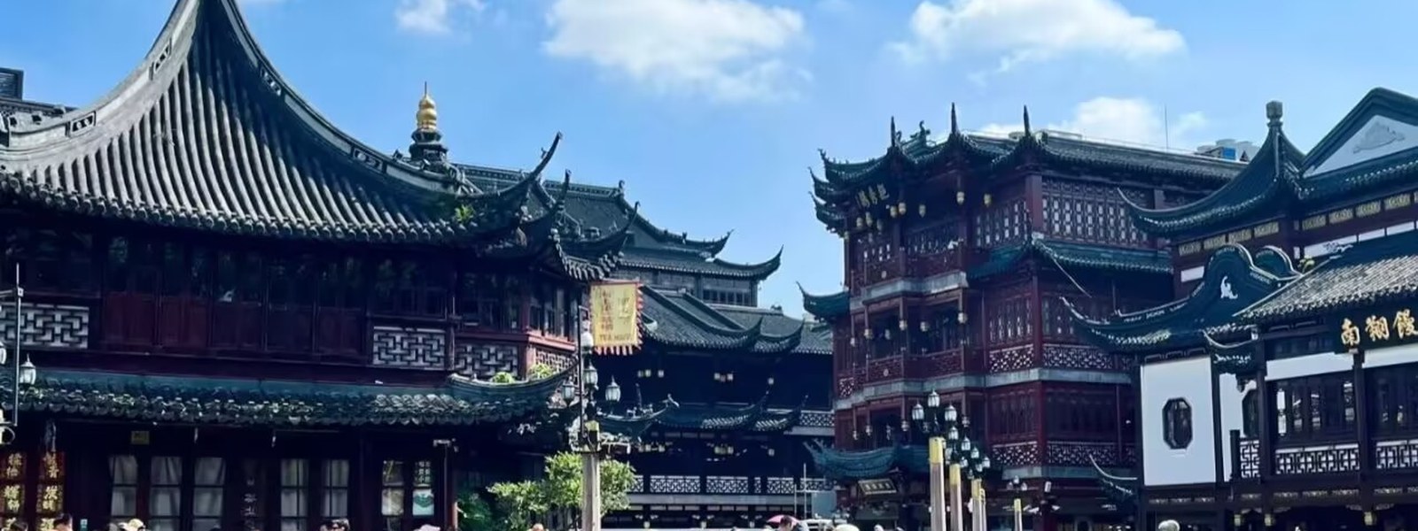
Shanghai's historic core district: the Bund promenade and its 1920s-30s 'Exposition of World Architecture', the Nanjing Road retail mile, People's Square's cultural triangle, the Ming-era old city of Yuyuan Garden and the City God Temple, and the Huangpu riverside greenway — the city's first-visitor geography, flat and metro-served.
The Huangpu district (黄浦区) is Shanghai's historic core — the city's first-visitor geography, where the treaty-port and the Ming-era old city meet the modern skyline. Its anchors are the river and the walls: the Bund's ~1.5 km promenade backed by the 1920s-30s banks and trading houses of the 'Exposition of World Architecture', with the Lujiazui skyline across the water; the Nanjing Road retail mile and People's Square's cultural triangle inland; the Ming-era old city around Yuyuan Garden and the City God Temple, where the walled town that predated the treaty port survives in lanes and archways; and the Huangpu riverside greenway running south from the Waibaidu Bridge to Rihui Port. The district's walks are flat, free and metro-served — Lines 1/2/8 at People's Square, 2/10 at Nanjing Road East, 10/14 at Yuyuan — and its two flagship routes, the Bund–Lujiazui walk and the Yuyuan Old City walk, together give the visitor both Shanghais: the riverfront and the old city, one metro stop apart.
Trails in This Area
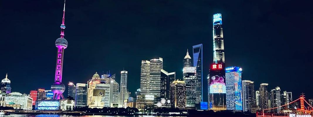
Bund–Lujiazui Walk: People's Square to the Skyline, One Ferry Across

Expo Riverside: China Art Museum, PSA & the World Expo Museum
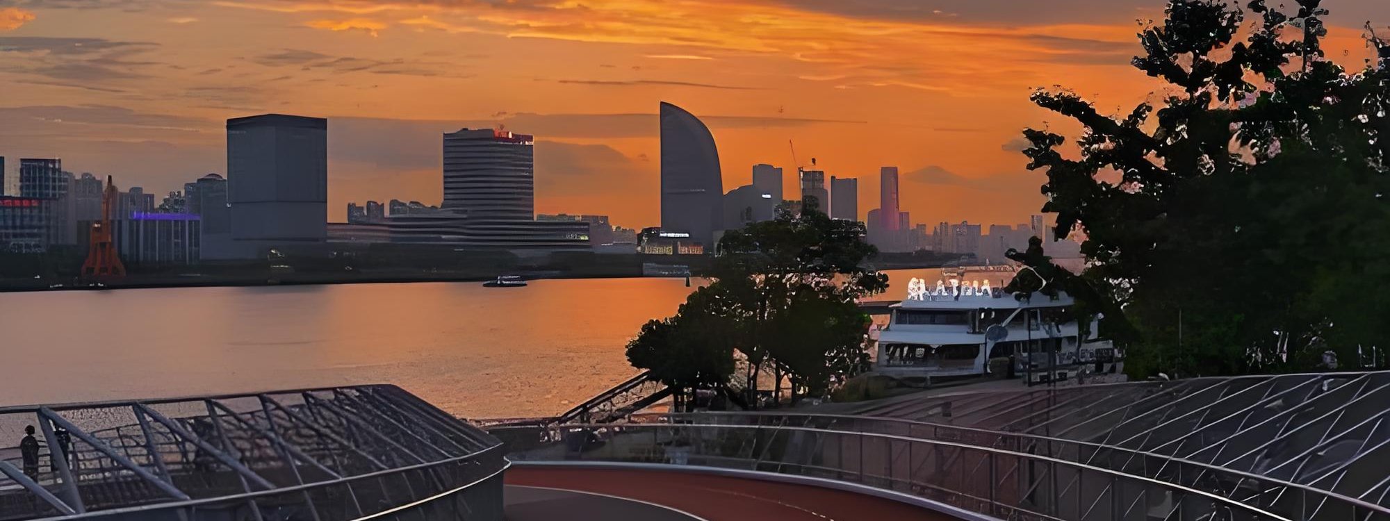
Huangpu Riverside Greenway: 8.3 km of Bridges, Blossom and the Bund
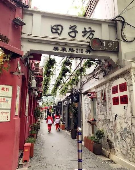
Tianzifang Walk: The Lane Market at Taikang Road 210
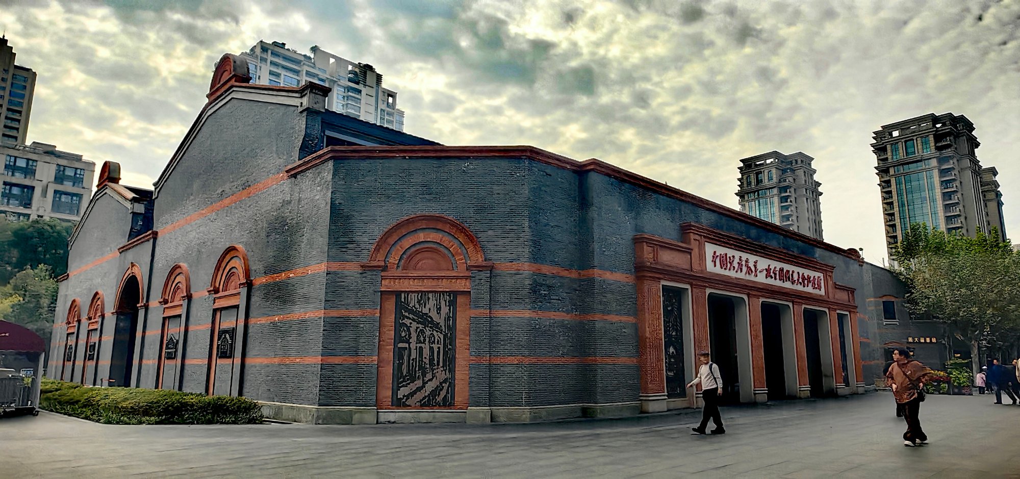
Xintiandi & the Congress Site: 2 km from 1921 to Now