Hangzhou Hiking Guide
Detailed trail guides, transport tips, maps, and local field notes for hiking in Hangzhou, China. Built for international visitors and updated as routes are checked.
Featured Trails
Starter routes for the first version of the guide. Distance, duration, and difficulty are based on local notes and will be refined with field checks.
 Editor's Pick
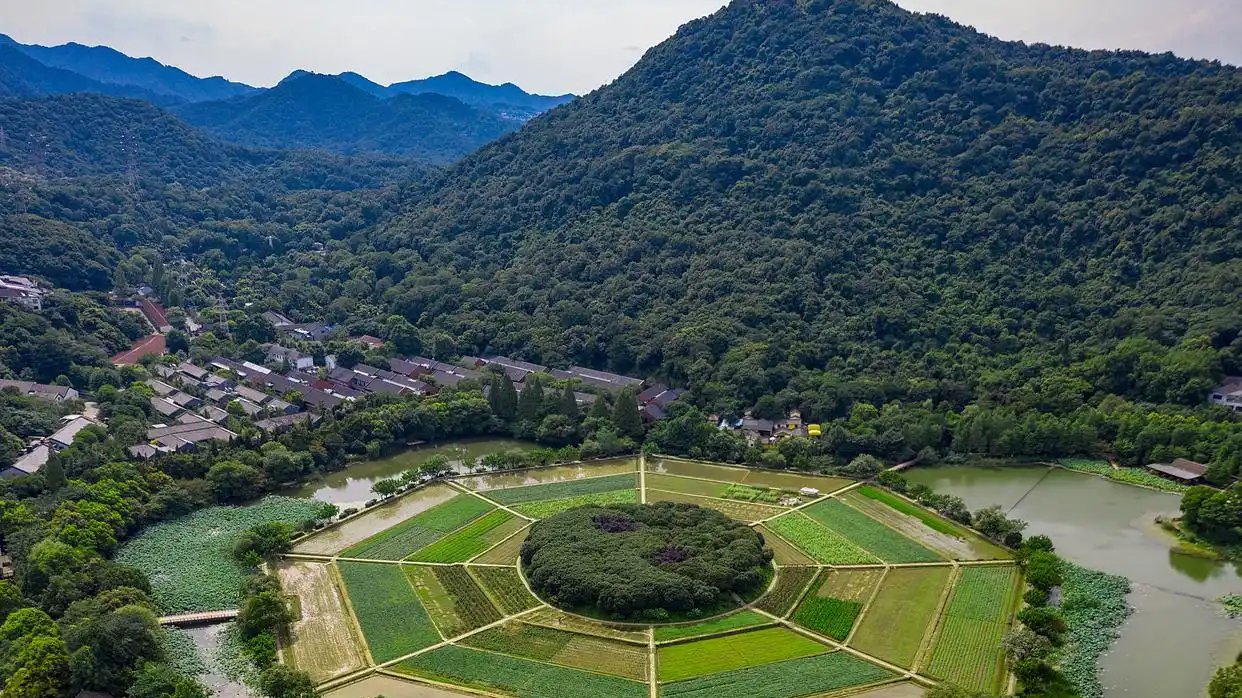
Bagua Tian to Changqiao Park via Yuhuangshan
A 7–9 km city traverse from Bagua Tian over Yuhuangshan to Changqiao Park — Song-dynasty cliff carvings, a Taoist cave temple with panoramic terrace, a forest boardwalk, and one of Hangzhou's best free sunset views over Leifeng Pagoda and West Lake. Easy, mostly shaded, front-loaded climb.
 Editor's Pick
West Lake Classic Loop
An ~11-12 km flat urban loop around West Lake, visiting Broken Bridge, Bai Causeway, Su Causeway, Leifeng Pagoda, and more. The essential Hangzhou sightseeing walk — entirely paved, no hills.
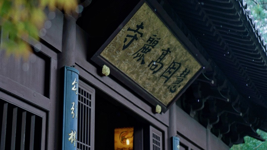
South Peak Effortless Walk: Yanxia Cave to Huiyin Gaoli Temple
A 3–4 km shaded walk starting at Yanxia Cave's ancient rock carvings, climbing gently to South Peak's 360° summit view over West Lake and the Qiantang River, then descending past a 1,068-year-old camphor tree to the historic Huiyin Gaoli Temple. Minimal effort, panoramic payoff.
Browse by Area
Each area has its own character. Pick the setting that suits your day.

West Lake 西湖
The iconic heart of Hangzhou hiking — lakeside trails, hill climbs, and pagoda viewpoints.

Longjing / Tea Villages 龙井 / 茶村
The historic home of Longjing tea — terraced hillsides, shaded stream valleys, and village paths.
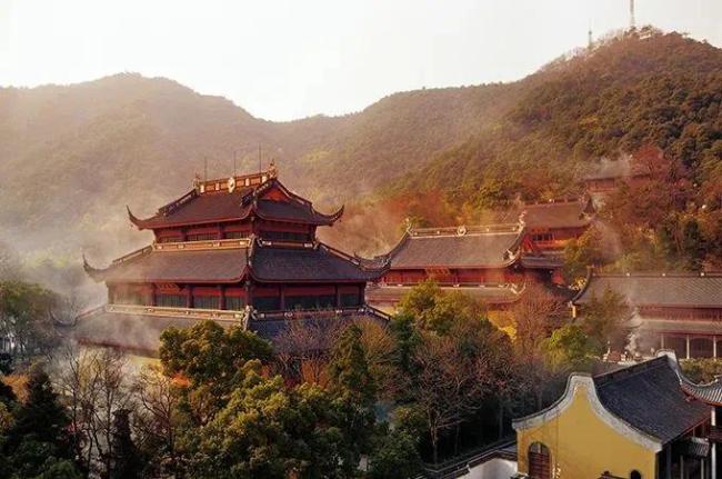
Lingyin / North Peak 灵隐 / 北高峰
Temple grounds, forest climbs, and panoramic views from one of the highest points near West Lake.
Planning Guides
Practical articles to help you plan your Hangzhou hiking trip.
Getting to the Trailhead
How to reach each trailhead from central Hangzhou — metro stops, bus routes, taxi costs, and what to look for at the drop-off point.
How to Go Hiking in Hangzhou Without a Car
How to reach every trailhead by metro, bus, or taxi — with key stations, estimated fares, and Chinese place names.
Best Season for Hiking in Hangzhou
When to visit Hangzhou for hiking. What each season feels like, how it affects trail conditions, and what to pack.
How to Use Amap (高德地图) for Hiking in Hangzhou
Why Google Maps isn't enough and how to use 高德 (Amap) to find trailheads, navigate Hangzhou's trails, use public transport, and stay safe.
About This Guide
This site is written and maintained by a Hangzhou-based hiker. Trail guides are compiled from personal field notes and local research, with route details updated as trails are checked, transport changes, and seasonal conditions shift. Every guide shows its current verification status — whether it has been locally reviewed or field-checked.