Tiaoxi
苕溪
A flat river corridor north-west of Hangzhou where three branches of the 苕溪 join and stop being hill streams, and where two thousand years of flooding have been answered by a right-bank dyke whose crest is now a greenway. The walking here is long, open and unshaded, and every distance the district publishes is about something else.
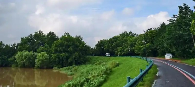
苕溪 is one of Zhejiang's eight river systems and a feeder of 太湖, named for the flowering reed — 苕 — that falls onto the water in autumn. It arrives from the south-west in branches. 南苕溪, the main stem, runs 45 km from 太湖源 in 临安 down to 何家陡门 in 瓶窑; 中苕溪 runs 50 km from 垅上坞 to 下木桥; 北苕溪 brings another 50 km out of 安吉 to 龙舌嘴. The three join at 瓶窑 and leave the district as the 东苕溪, which turns north through 德清 into the lake. This corridor is where those waters stop being hill streams and start being a flood problem: 青山水库 alone holds 215 million cubic metres and controls 603 km² of the 东苕溪 catchment, 80 to 90 per cent of the district's rain falls between May and September, and 13 significant floods are counted between 1949 and 2005. The answer to that history is the object a visitor can actually walk: 西险大塘, the right-bank dyke first recorded in 173 AD, 44.6 km from 石门桥 to 德清大闸 with 38.7 km of it inside 余杭, raised, sealed, breached and repaired ever since, and rebuilt to a two-hundred-year flood standard by the programme finished in June 2025. Its crest is now the district's greenway, and the district describes that greenway with five different numbers, all of them true of something: 50 km of continuous waterfront greenway built across the whole district, including a 10 km branch on the 北苕溪; 44 km as the planning corridor of the 苕溪文化风情带, which runs across 瓶窑, 良渚, 仓前, 中泰, 仁和 and 余杭街道; 38 km as the dyke kilometres inside 余杭; 19 km as the 宣杭拾忆 project along the old rail axis; and 9 km as the 风情带's 余杭街道 section, from 禹航大桥 to the confluence of 中苕溪 and 南苕溪. None of the five is a walk someone can set out on. The 15.5 km on this corridor's route page was measured along the crest for that page. Riders have layered their own tiering over the same line — a grand loop of 80 to 100 km, a middle loop, and a short one naming 舒公塔, the 溪塔村 camphor, 土桥湾's rail bridge, 北湖草荡 and 下陡门 — which are riding distances, neither the district's nor walking ones. What else Yuhang offers sits at either end of this water and on the southern side of it: the 良渚 World Heritage properties downstream to the south-east, the hills of 青山 and 径山 above the branches to the west, and the tea ridge of 中泰 — one of the six township-streets the 风情带 roster names, and the district's first bud of the year — now with its own page here too.