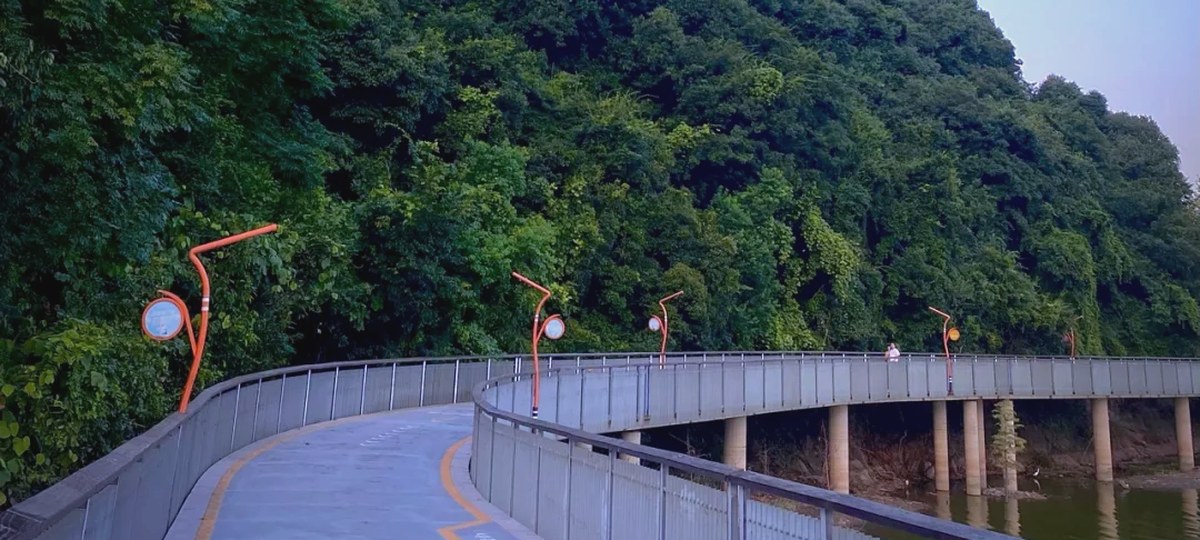
Qingshan Lake
青山湖
Qingshan Lake is the reservoir on Lin'an's eastern edge, built from 1958 to hold floodwater for 余杭 and the plain beyond. Its northern shore carries a greenway published at 42.195 km, a paid water forest planted by a state forest farm, and one walked line between two stations on Line 16. The dam is not a crossing.
青山湖 is 青山水库 with a resort name: the reservoir the 南苕溪 fills behind a dam built between 公山 and 母山 on the eastern edge of 临安城区. Work began in December 1958, the river was closed in April 1960, the main works finished in April 1964 and the power station came on in June 1973; the flood-capacity upgrade begun in 2019 was accepted in October 2024. The dam is 575 m long and 24.1 m high, holds 2.15×10⁸ m³ behind a 603 km² catchment, and controls 26.6 % of the 东苕溪 basin. The water is there for 余杭 and the plain below it, not for the view.
The land around it has been designated three times over. A provincial forest park in 1997, national in May 1999, and in 2025 a provincial important wetland of 723.22 ha, with 1,248 vascular plants, 1,633 animals and 309 birds on the water bureau's count. The national forest park's own roster runs to six scenic areas — 青山湖, 西径山, 玲珑山, 钱王陵, 东湖 and 西墅 — of which this page covers only the first: the water and the shore that the greenway follows.
The greenway along the northern shore is published at 42.195 km, and the lake's shoreline at 42 km; the one line drawn on this site is a 13.7 km traverse of the north shore between two stations on Line 16. In the middle sits the water forest: 404 mu of 池杉 and 落羽杉 that 临天林场 planted in the swamp at 乌龟桥头 from the late 1970s, and that survived a 1984 brick-works plan because the farm's first director, 李炳华, argued the cut down to the planting year. It is the only paid ground on the line.
Access is the reason this shore has a page at all. 青山湖站 on Line 16 is 83 minutes and ¥10 from 杭州东站 with 218 m of walking, and 88 minutes and ¥9 from 凤起路. The station is 1.3 km from the water-forest gate and a shuttle covers the gap; the walk east ends at 青山湖科技城站, two stops back up the same line. No car is needed at either end, which cannot be said of most of the water in these hills.
What the area is not: a loop. The dam between 公山 and 母山 is not in the pedestrian network — the shortest drawn route from its north car park to the far bank is 7.6 km for a 1.9 km straight line — and the south-west shore is ordinary road. The reservoir is also a working flood-control and drinking-water source, so the water is for looking at.