Luniao & Baizhang
鸬鸟/百丈
Two townships sharing one ridge at the far western edge of Yuhang, about forty-five kilometres from Hangzhou's centre. 百丈 holds the valley, the hamlet this walk starts from and a cluster of village museums; 鸬鸟 holds the crest, the road-head platform and the pear orchards. One stone-step ancient path runs between them, and it is the reason to come.
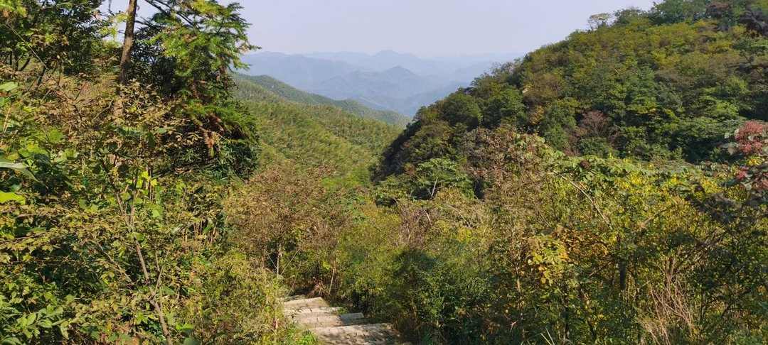
鸬鸟镇 and 百丈镇 are the two townships at the western end of Yuhang, inland from 良渚 and north of 径山, and the ridge that divides them is the reason this page exists. The division is not a figure of speech: reverse-geocoding the high point of the walk below returns 鸬鸟镇, while the hamlet the walk starts from is in 百丈镇溪口村. The provincial long-distance path network, the 环浙步道, uses these hills, and the 大径山 greenway system on the 径山 side reaches 百丈 by a single cross-town bus, the 2500M, which leaves Metro Line 5 at 葛巷站 and runs north through 黄湖. The walking asset is one line: the 百丈平天堂森林古道, a stone-step mountain path recorded as forming in the late Tang, described by the district as running 8 km from 罗窑坞 in 百丈 to 九东山 in 鸬鸟, and repaired under a doctrine of keeping the old stone surface old. That doctrine is why the route reads as heritage underfoot and why it punishes ankles; it is also why the district can market the same path as both a cultural relic and a day out. The circuit walked here, the 鸬鸟山罗窑坞环线, climbs it to the crest at about 880 m and comes back down a different shoulder, measuring 8.2 km with roughly 770 m of climbing, all of it front-loaded into the first third. The longer eastern section, opened in November 2025, links the same path into the 大径山 greenway and turns the circuit into a point-to-point walk. The valley has a second reason to visit, and it is not a view. 溪口村 runs fifteen village museums and the district government counts more than 300,000 visits through them; the village is listed in an FAO rural-identification programme as a global demonstration village. They are small, specific and mostly open Tuesday to Sunday, which is worth knowing because it decides what you do with the afternoon after a morning on the ridge. Neighbouring 鸬鸟 sells fruit rather than exhibitions: the pear season runs late July into August, and 山沟沟, the bigger scenic area in this valley, is the version of the same landscape that came with a gate and a ticket. Access is the honest weakness. There is no metro here; Line 2 as far as 良渚站 is the closest rail head, and from there the last leg is village buses, 7457 and 2598B, to a stop that remains about two kilometres of roadside walking from the lane where the path begins. Drivers take 235国道 and then 溪六线, about 39 km from 良渚. Nothing in the way of a timetable is published where we can read it, so the day is planned backwards from the last bus rather than forwards from the trailhead. Elevation, distance and the section times on the route page come from three walked records exported in October 2026, so the numbers are measured; what remains unconfirmed is the operational layer, from first buses to parking charges to whether the road-head café keeps winter hours. For a higher ambition there is 窑头山, 1095.2 m, the highest point in this part of Hangzhou, ten kilometres to the south-west and visible from the crest on a clear day. It is not walked from here, and no route on this site claims it is.